Alt-1920s New Orleans
Quote
"It is the most congenial city in America that I know of and it"
"is due in large part, I believe, to the fact that here at last on this bleak"
"continent that sensual pleasures assume the importance which they deserve..."
- -- Henry Miller, The Air-Conditioned Nightmare
- -- Henry Miller, The Air-Conditioned Nightmare
Appearance -- Mardi Gras 1907
Location
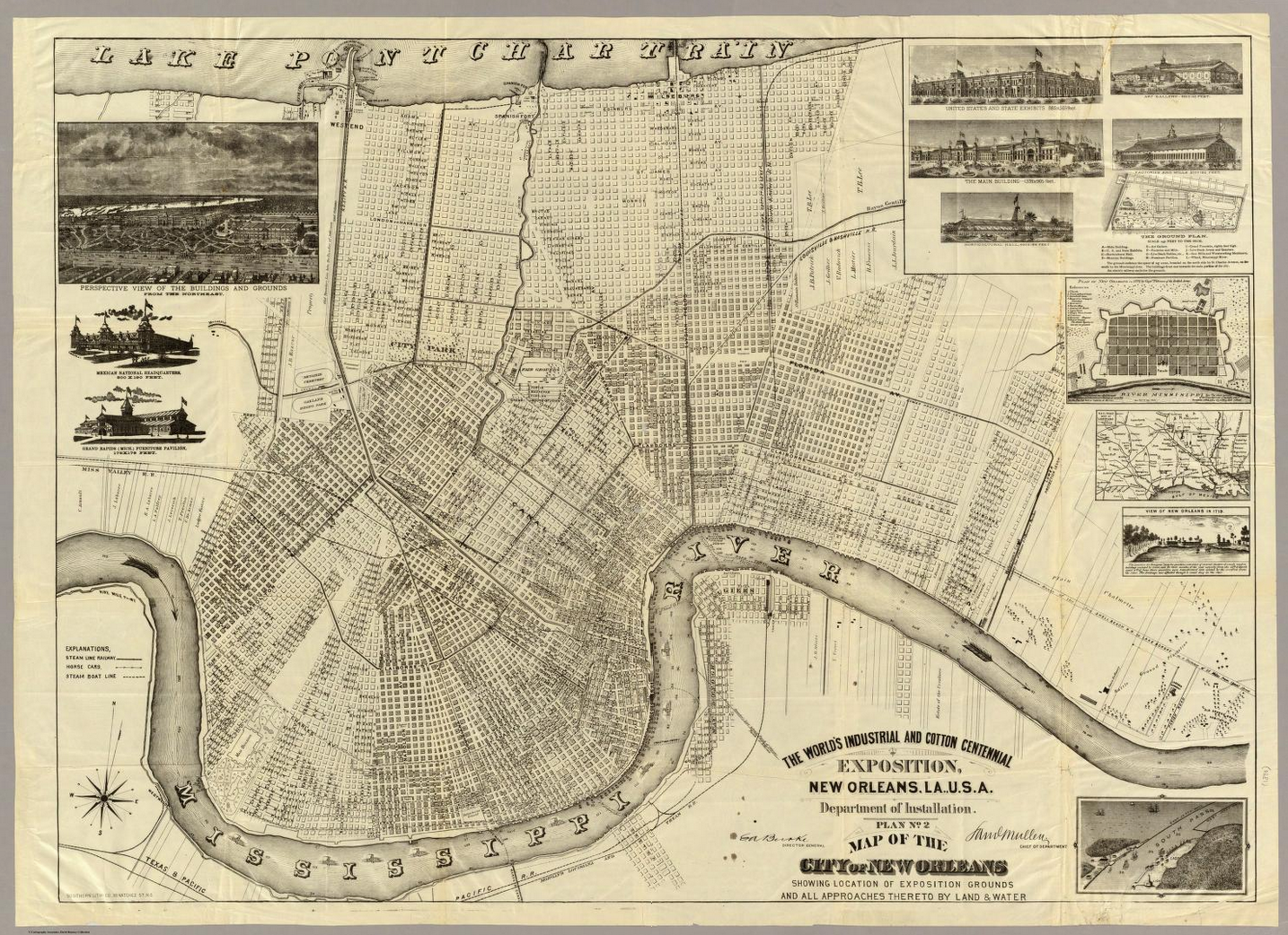
New Orleans is located at 29°57′53″N 90°4′14″W (29.964722, −90.070556) on the banks of the Mississippi River, approximately 105 miles (169 km) upriver from the Gulf of Mexico. According to the United States Census Bureau, the city has a total area of 350.2 square miles (907 km2), of which 180.56 square miles (467.6 km2), or 51.55%, is land. The city is located in the Mississippi River Delta on the east and west banks of the Mississippi River and south of Lake Pontchartrain. The area along the river is characterized by ridges and hollows.
Climate
The climate of New Orleans is humid subtropical with short, generally mild winters and hot, humid summers. The monthly daily average temperature ranges from 53.4 °F (11.9 °C) in January to 83.3 °F (28.5 °C) in July and August. The lowest recorded temperature was 6 °F (−14 °C) on February 13, 1899. The highest recorded temperature was 104 °F (40 °C) on June 24, 2009. The average precipitation is 62.7 inches (1,590 mm) annually; the summer months are the wettest, while October is the driest month. Precipitation in winter usually accompanies the passing of a cold front. On average, there are 77 days of 90 °F (32 °C)+ highs, 8.1 days per winter where the high does not exceed 50 °F (10 °C), and 8.0 nights with freezing lows annually; in a typical year the coldest night will be around 30 °F (−1 °C).[62] It is rare for the temperature to reach 100 °F (38 °C) or dip below 25 °F (−4 °C).
Hurricanes pose a severe threat to the area, and the city is particularly at risk because of its low elevation, and because it is surrounded by water from the north, east, and south, and Louisiana's sinking coast. According to the Federal Emergency Management Agency, New Orleans is the nation's most vulnerable city to hurricanes. Indeed, portions of Greater New Orleans have been flooded by: the Grand Isle Hurricane of 1909, the New Orleans Hurricane of 1915, 1947 Fort Lauderdale Hurricane, Hurricane Flossy in 1956, Hurricane Betsy in 1965, Hurricane Georges in 1998, Hurricanes Katrina and Rita in 2005, and Hurricane Gustav in 2008, with the flooding in Betsy being significant and in a few neighborhoods severe, and that in Katrina being disastrous in the majority of the city.
New Orleans experiences snowfall only on rare occasions. A small amount of snow fell during the 2004 Christmas Eve Snowstorm and again on Christmas (December 25) when a combination of rain, sleet, and snow fell on the city, leaving some bridges icy. Before that, the last White Christmas was in 1964 and brought 4.5 inches (11 cm). Snow fell again on December 22, 1989, when most of the city received 1–2 inches (2.5–5.1 cm).
The last significant snow fall in New Orleans was on the morning of December 11, 2008.
Geography
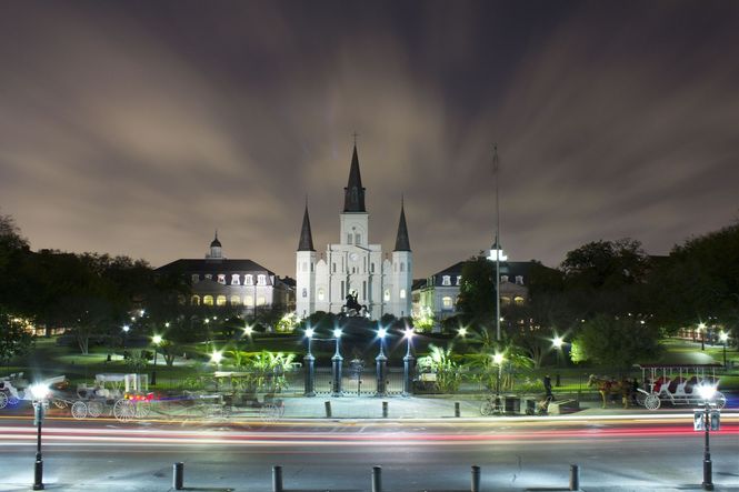
French Quarter
[[]]
History
The Colonial Era
Before the founding of what would become known as the city of New Orleans, the area was inhabited by Native Americans for thousands of years. The Mississippian culture peoples built mounds and earthworks in the area. Later Native Americans created a portage between the headwaters of Bayou St. John (known to the natives as Bayouk Choupique) and the Mississippi River. The bayou flowed into Lake Pontchartrain. This became an important trade route. Archaeological evidence has shown settlement here dated back to at least 400 C.E.
French explorers, fur trappers and traders arrived in the area by the 1690s, some making settlements amid the Native American village of thatched huts along the bayou. By the end of the decade, the French made an encampment called "Port Bayou St. Jean" near the head of the bayou. They built a small fort "St. Jean" at the mouth of the bayou in 1701, used as a large Native American shell midden dating back to the Marksville culture. These early European settlements were then within the limits of the city of New Orleans, though predating its official date of founding.
New Orleans
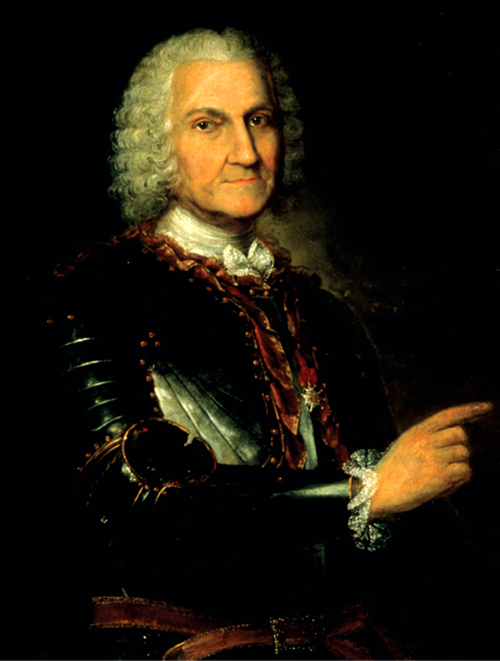
New Orleans was founded in 1718 by the French as Nouvelle-Orléans, under the direction of Jean-Baptiste Le Moyne de Bienville. The site was selected because it was relatively high ground along the flood-prone banks of the lower Mississippi, and was adjacent to the trading route and portage between the Mississippi and Lake Pontchartrain via Bayou St. John. From its founding, the French intended it to be an important colonial city. The city was named in honor of the then Regent of France, Philip II, Duke of Orléans.
The priest-chronicler Pierre François Xavier de Charlevoix described it in 1721 as a place of a hundred wretched hovels in a malarious wet thicket of willows and dwarf palmettos, infested by serpents and alligators; he seems to have been the first, however, to predict for it an imperial future. In 1722, Nouvelle-Orléans was made the capital of French Louisiana, replacing Biloxi in that role. In September of that year, a hurricane struck the city, blowing most of the structures down. After this, the administrators enforced the grid pattern dictated by Bienville but hitherto previously mostly ignored by the colonists. This grid is still seen today in the streets of the city's "French Quarter".
Much of the population in the early days was of the wildest and, in part, of the most undesirable character: deported galley slaves, trappers, gold-hunters and city scourings; and the governors' letters are full of complaints regarding the riffraff sent as soldiers as late as Kerlerec's administration from 1753 to 1763. Two lakes in the vicinity, Lake Pontchartrain and Maurepas, commemorate respectively Louis Phelypeaux, Count Pontchartrain, minister and chancellor of France, and Jean Frederic Phelypeaux, Count Maurepas, minister and secretary of state; a third is really a landlocked inlet of the sea, and its name (Lake Borgne) has reference to its incomplete or defective character.
Spanish Rule
The 19th Century
The Civil War
Era of Reconstruction
1890s
20th Century
21st Century
Hurricane Katrina
Population of the City
- -- (339,075): 1910 census +18.1%
- -- (387,219): 1920 census +14.2%
- -- (458,762): 1930 census +18.5%
- -- (494,537): 1940 census +7.8%
- -- (570,445): 1950 census +15.3%
- -- (627,525): 1960 census +10.0%
- -- (593,471): 1970 census −5.4%
- -- (557,515): 1980 census −6.1%
- -- (496,938): 1990 census −10.9%
- -- (484,674): 2000 census −2.5%
- -- (343,829): 2010 census −29.1%
- -- (384,320): 2014 census +11.8%
Economy
Arenas
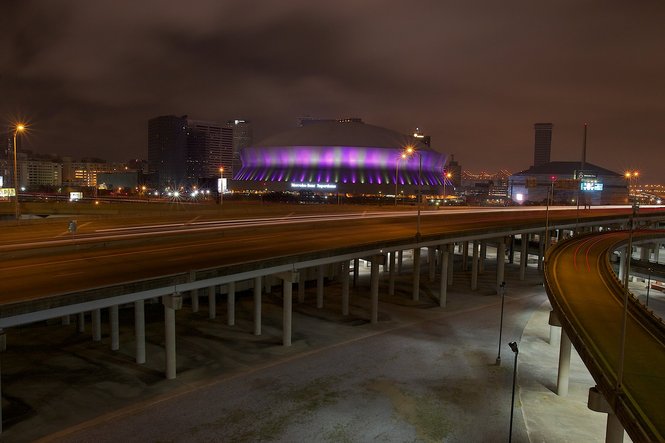
- The Super Dome
Attractions
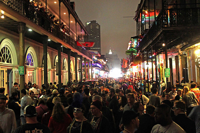
- Bourbon Street by Night
Bars and Clubs
- -- Club Ampersand
- -- Club Blue
- -- The Lamp Light -- A wild and raunchy strip club on Bourbon Street that occasionally closes its doors for Kindred only affairs.
- -- The Twilight Club -- A Kindred Gathering Place (Elysium)
- -- Tornado Strip-Club
Cemeteries
- -- Cypress Grove Cemetery
- -- Gates of Prayer Cemetery No.1
- -- Gates of Prayer Cemetery No.2
- -- Greenwood Cemetery
- -- Hebrew Rest Cemetery
- -- Holt Cemetery
- -- Lafayette Cemetery No.1
- -- Masonic Cemetery
- -- St. Louis Cemetery No.1 -- The city's most famous cemetery
- -- St. Louis Cemetery No.2
- -- St. Louis Cemetery No.3
- -- St. Patrick's Cemetery No.1
- -- St. Patrick's Cemetery No.2
- -- St. Patrick's Cemetery No.3
- -- St. Roch Cemetery
City Government
Crime
Citizens of New Orleans
Current Events
Festivals
- -- Mardi Gras
Galleries
Haunted Houses
Holy Ground
Hospitals
Hotels & Hostels
Landmarks
Les Gens Des Ténèbres
Monasteries
Monuments
Museums
Parks
Periodicals
- -- The Times Picayune (newspaper)
Private Residences
Restaurants
Schools
Shops
Theatres
Transportation
The Vampires of Nawlins
"Take me in your arms"
"Forgetting all you couldn't do today"
"Black celebration"
"I'll drink to that"
"Black celebration"
"Tonight."
-- Depeche Mode, "Black Celebration"
[[]] Assamites
[[]] Brujah
[[]] Cappadocians
[[]] Followers of Set
[[]] Gangrel
[[]] Lasombra
[[]] Malkavian
[[]] Nosferatu
[[]] Ravnos
[[]] Salubri
[[]] Toreador
[[]] Tzimisce
[[]] Ventrue
Bloodlines
Caitiff
Visitors
The Ghouls of the Big Easy
Werewolves of the Local Bayous
The Wraiths of the NOLA Necropolis
Websites
http://photos.nola.com/1792/gallery/april_2012_photo_contest_new_orleans_at_night/index.html
http://en.wikipedia.org/wiki/Belle_Grove_Plantation_%28Iberville_Parish,_Louisiana%29
http://www.eatel.net/~meme/BelleGrove.html
http://www.neworleansonline.com/neworleans/attractions/cemeteries.html
http://www.neworleansonline.com/neworleans/nightlife/
http://www.stowawaymag.com/2011/09/voodoo-vampires-zombies/
http://www.pinterest.com/eyeofhorus/hoodoo-voodoo-vodou-nola/
http://www.storyvilledistrictnola.com/canal.html {historic pictures}
http://americanhistory.si.edu/onthewater/exhibition/4_4.html {historic pictures}
https://yesteryearsnews.wordpress.com/tag/thomas-jefferson/

