York City Walls: Difference between revisions
No edit summary |
|||
| Line 8: | Line 8: | ||
<br> | <br> | ||
== The Roman Walls == | == The Roman Walls == | ||
[[File:York city walls map.jpg]] | |||
<br> | |||
<br> | |||
The original walls were built around 71 AD, when the Romans erected a fort (castra) occupying about 50 acres or 21.5 hectares near the banks of the River Ouse. The rectangle of walls was built as part of the fort's defences. The foundations and the line of about half of these Roman walls form part of the existing walls, as follows: | The original walls were built around 71 AD, when the Romans erected a fort (castra) occupying about 50 acres or 21.5 hectares near the banks of the River Ouse. The rectangle of walls was built as part of the fort's defences. The foundations and the line of about half of these Roman walls form part of the existing walls, as follows: | ||
Revision as of 20:07, 26 March 2015
Introduction
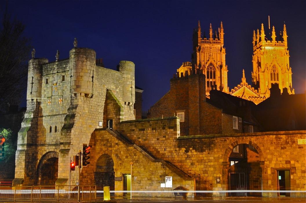
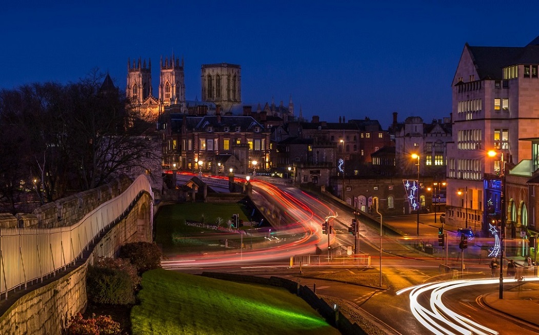
The English city of York has, since Roman times, been defended by walls of one form or another. To this day, substantial portions of the walls remain, and York has more miles of intact wall than any other city in England. They are known variously as York City Walls, the Bar Walls and the Roman walls (though this last is a misnomer as very little of the extant stonework is of Roman origin, and the course of the wall has been substantially altered since Roman times).

The Roman Walls

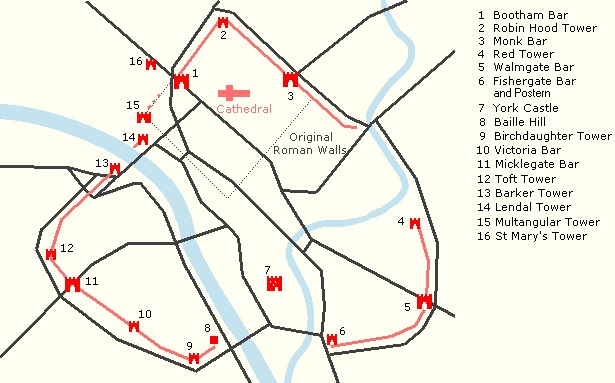
The original walls were built around 71 AD, when the Romans erected a fort (castra) occupying about 50 acres or 21.5 hectares near the banks of the River Ouse. The rectangle of walls was built as part of the fort's defences. The foundations and the line of about half of these Roman walls form part of the existing walls, as follows:
- -- a section (the west corner, including the Multangular Tower) in the Museum Gardens
- -- the north-west and north-east sections between Bootham Bar and Monk Bar
- -- a further stretch between Monk Bar and the Merchant Taylors' Hall, at the end of which the lower courses of the east corner of the Roman wall can be seen on the city-centre side of the existing wall.
The line of the rest of the Roman wall went south-west from the east corner, crossing the via principalis of the fortress where King's Square is now located. The south corner was in what is now Feasegate, and from here the wall continued northwest to the west corner. The point where the wall crossed the via praetoria is marked by a plaque in St Helen's Square near the Mansion House.

