Glastonbury Tor: Difference between revisions
No edit summary |
No edit summary |
||
| Line 3: | Line 3: | ||
<br> | <br> | ||
<br> | <br> | ||
= Introduction = | |||
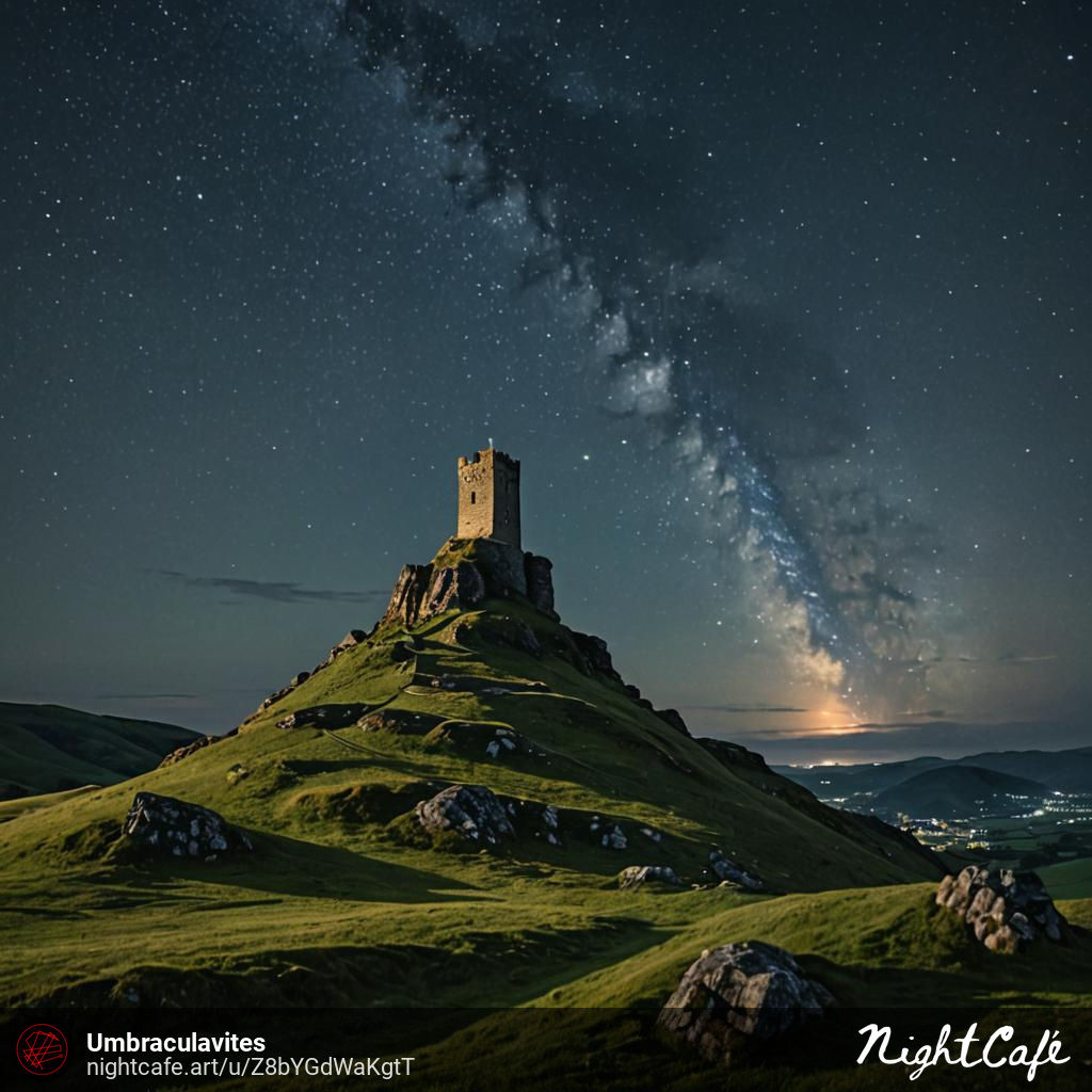
Glastonbury Tor is a tor near Glastonbury in the English county of Somerset, topped by the roofless St Michael's Tower, a Grade I listed building. The site is managed by the National Trust and has been designated a scheduled monument. The Tor is mentioned in Celtic mythology, particularly in myths linked to King Arthur, and has several other enduring mythological and spiritual associations. | |||
The conical hill of clay and Blue Lias rises from the Somerset Levels. It was formed when surrounding softer deposits were eroded, leaving a hard cap of sandstone exposed. The slopes of the hill are terraced, but the method by which they were formed remains unexplained. | |||
Archaeological excavations during the 20th century sought to clarify the background of the monument and church, but some aspects of their history remain unexplained. Artifacts from human visitation have been found, dating from the Iron Age to Roman eras. Several buildings were constructed on the summit during Saxon and early medieval periods; they have been interpreted as an early church and monks' hermitage. The head of a wheel cross dating from the 10th or 11th century has been recovered. The original wooden church was destroyed by an earthquake in 1275, and the stone Church of St Michael was built on the site in the 14th century. Its tower remains, although it has been restored and partially rebuilt several times. | |||
---- | ---- | ||
<br> | <br> | ||
---- | ---- | ||
Revision as of 11:54, 21 August 2024
Introduction
Glastonbury Tor is a tor near Glastonbury in the English county of Somerset, topped by the roofless St Michael's Tower, a Grade I listed building. The site is managed by the National Trust and has been designated a scheduled monument. The Tor is mentioned in Celtic mythology, particularly in myths linked to King Arthur, and has several other enduring mythological and spiritual associations.
The conical hill of clay and Blue Lias rises from the Somerset Levels. It was formed when surrounding softer deposits were eroded, leaving a hard cap of sandstone exposed. The slopes of the hill are terraced, but the method by which they were formed remains unexplained.
Archaeological excavations during the 20th century sought to clarify the background of the monument and church, but some aspects of their history remain unexplained. Artifacts from human visitation have been found, dating from the Iron Age to Roman eras. Several buildings were constructed on the summit during Saxon and early medieval periods; they have been interpreted as an early church and monks' hermitage. The head of a wheel cross dating from the 10th or 11th century has been recovered. The original wooden church was destroyed by an earthquake in 1275, and the stone Church of St Michael was built on the site in the 14th century. Its tower remains, although it has been restored and partially rebuilt several times.
